The new browser-based version of Google Earth makes it easier than ever to travel the planet, and to learn about the places where you land. Turn your students into global explorers. Help them develop critical thinking and data visualization skills. Prepare them to become citizens who are engaged with the world.
Learn about India in a new way
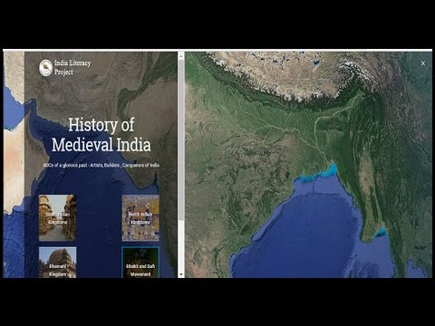
India Literacy Project (ILP) is a non profit organization dedicated to the cause of literacy in India, working in over 1,700 villages and 3,300 schools. By empowering every individual they serve with functional literacy and an understanding of their basic rights and responsibilities, ILP is leading new generations to understand their legacy and seek new horizons. Discover the Voyager stories that they have created for classrooms and explore Indian culture, history, and geography.
Try This!
Teach your students that mathematics is all around them: use Google Earth to identify shapes and angles, such as looking at the different shapes of swimming pools; or get a close-up view of a cafe with outside tables, and have students count the tables and the number of customers. For older students visit RealWorldMath.org for great idea on using Google Earth to teach mathematics.
The Power of Search
Using the Search feature, you can easily learn more about places around the world by clicking open the related Knowledge Card. Within the card you will find detailed information and related places to explore.

Follow the Google Earth Community
Our mission is to leverage Google Earth to drive geospatial thinking as a fundamental learning and life skill in global education - and our work has only just begun! With your help, we hope to inspire a new generation of global citizens to discover the world’s past, celebrate its present, and protect its future. Follow us on social media and we will post when there are new lesson ideas, training events, and classroom projects to review on this website.
Add Data Layers to Google Earth
To enhance your Google Earth classroom experience, try importing a KML file to incorporate data that is not hosted on Earth. KML, or Keyhole Markup Language, is a file format used to display geographic data in an Earth browser such as Google Earth. You can create KML files to pinpoint locations, add image overlays, and expose rich data in new ways. It is possible to use KML files from your Google Drive folder or off your desktop by enabling import in settings.

“Exploration is wired into our brains. If we can see the horizon, we want to know what’s beyond” - Buzz Aldrin


